


Rosaccio, Gioseppe
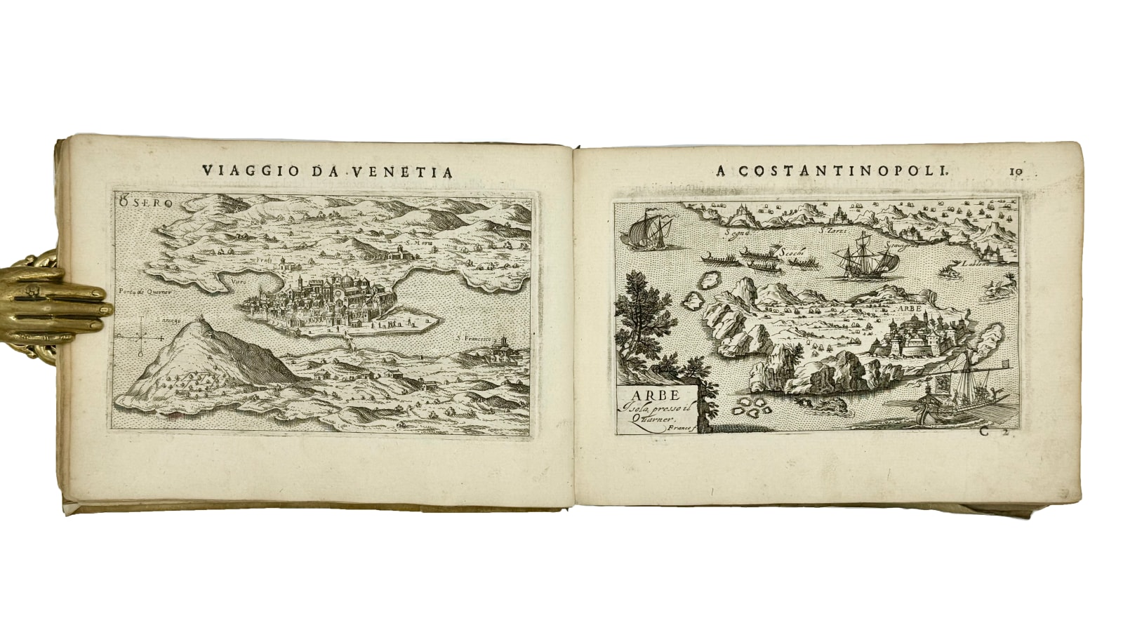
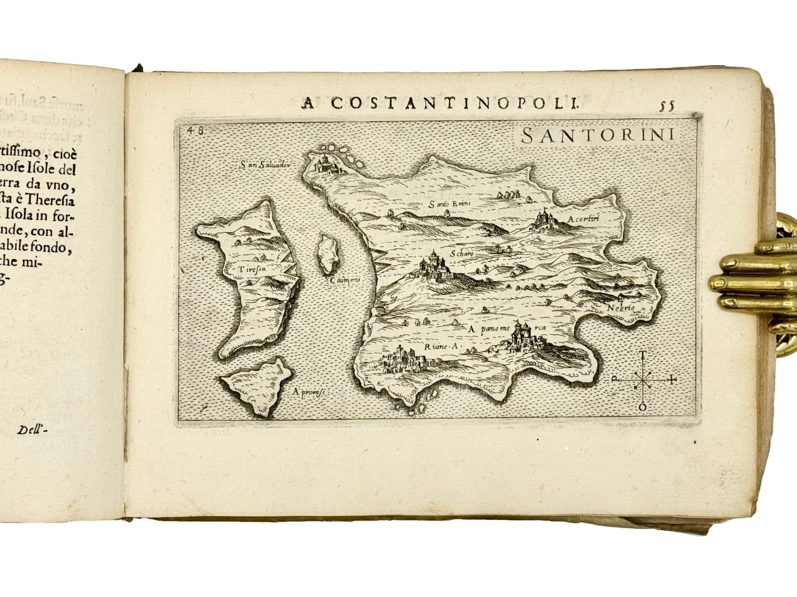
Attractive copy of a highly illustrated itinerary from Venice to Constantinople, comprising 72 full-page maps, including many of Constantinople and also of Cyprus, Famagusta, Crete, Rhodes, Jerusalem and the Near East. Published several times in the first half of the 17th century, the subsequent editions contained a variable number of plates. The maps show cities and outposts along the Mediterranean, the Dalmatian coast and the Levant.
Further images


4to oblong, (145 x 205 mm). Title page, 76 ff., 72 full page maps and views. Contemporary limp vellum, spine lettered in ink, some soiling and staining. Edges worn to title page, small piece of blank margin missing, scattered foxing and mild toning, often uniform.
The book was published for the first time in 1597, although under a different title, “Raccolta da disegni di tutte le citta et fortrezze di mare che sono nel viaggio a Costantinopoli” and in 1598 under this title. This appears to be the second edition of this title and the first 17th century edition.
This is a very fine copy in the contemporary binding.
According to OCLC we locate copies of this edition at Univ. of Wisconsin (collating the same as here), National Maritime Museum Caird Library, Harvard (which calls for an additional folding map however also mentioning ‘interleaved’ so presumably an addition), BNF, Universita di Torino (also 72 maps), Universitatsbibliothek lmu Munchen doesn’t provide a map count but 76 leaves (no mention of a folding map), Staatsbibliothek zu Berlin (also 72 maps), and Koninklijke Bibliotheek.
BM STC p. 794-795.
Provenance: armorial bookplate of Richard Robert Madden (1798 – 1886), Irish writer, abolitionist (active in abolishing slavery in Jamaica) and historian, pasted onto title page.
Join our mailing list
* denotes required fields
We will process the personal data you have supplied in accordance with our privacy policy (available on request). You can unsubscribe or change your preferences at any time by clicking the link in our emails.